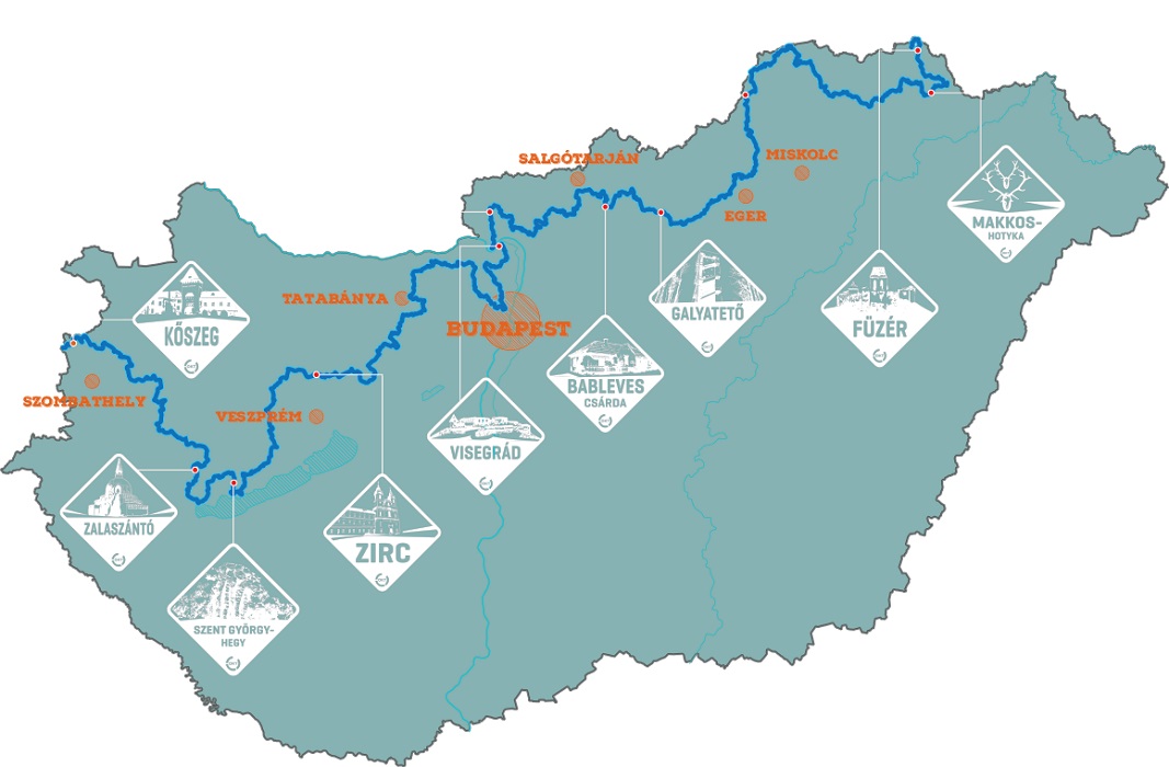
BLUE TRAIL
The National Blue Trail is continuous, marked tourist path from Írott-kő to Hollóháza running through the northern parts of Hungary. The route length is more than 1100 km. This is the first long distance path of Hungary and Europe and is part of the National Blue Circle together with the Rockenbauer Pál South Transdanubian Blue Trail and the Blue Trail of the Plain. Its performance doesn’t have any restriction. In addition to regular sporting activity, by completing the trail we can learn about the life and regions of Hungary, about its everyday life, inhabitants, history, geography and hydrography, its fauna and natural beauties.
On the route, the Hungarian Rambler’s Association established two badge collecting movement: the National Blue Trail and the Children’s Blue Trail. Their performance is tied to conditions. You can read our notice here.
Sections passing the Bakony Mountains:
Nagyvázsony-Városlőd (23.9 km)
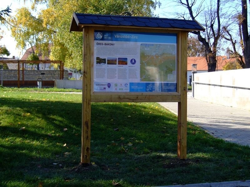
Városlőd-Zirc (41.4 km)
Zirc-Bodajk, Csókakő railway station (60 km)
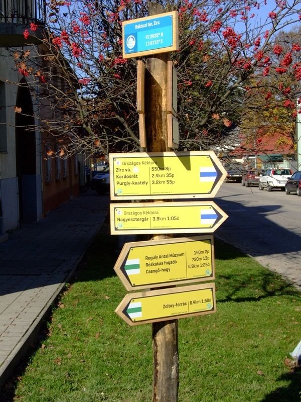
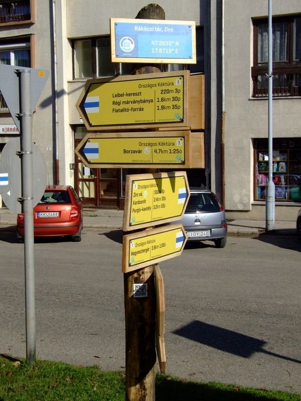
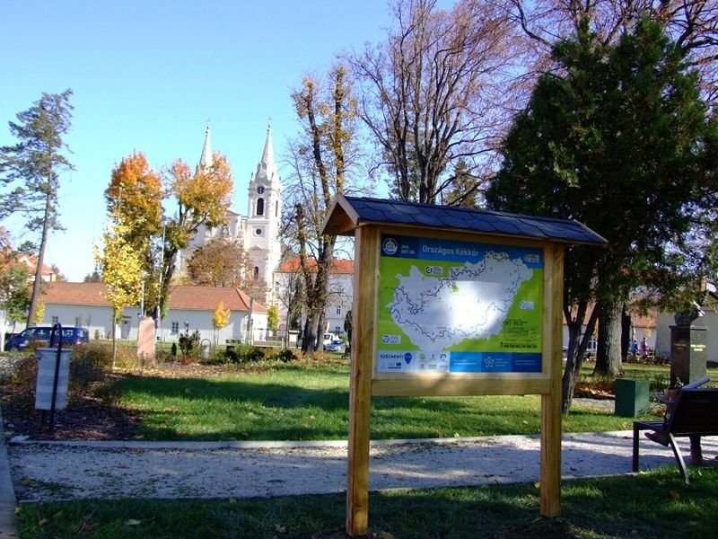
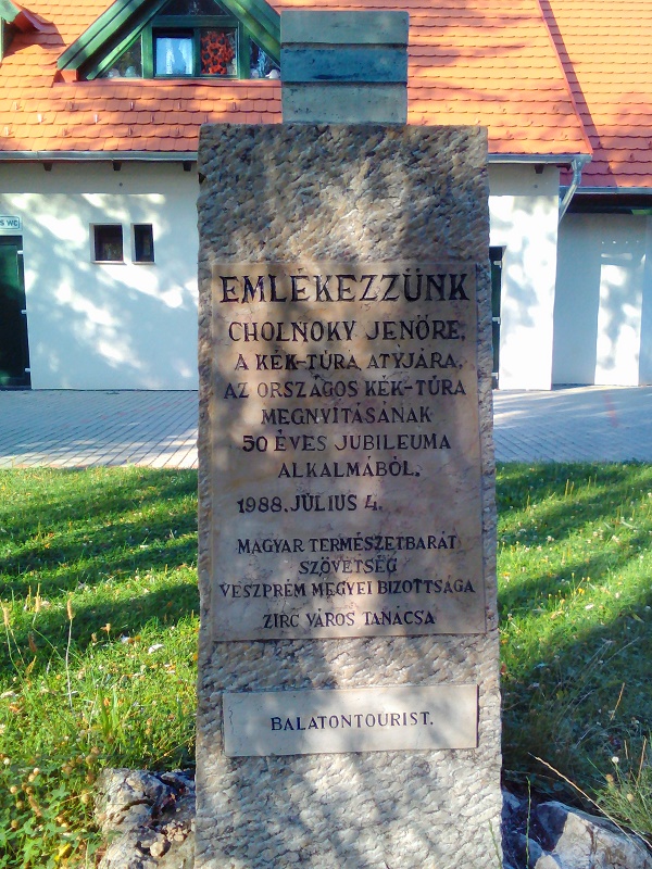
Two stages of the National Blue Trail are touching Zirc, the OKT 08 and 09. For further information about them see the following links:
Stamping place:
8420 Zirc, Vasút u. 6. (Train station waiting room)
GPS coordinates: N: 47.2667462 E: 17.8776393
Contact information: