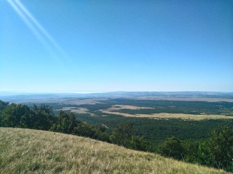
LOOKOUT POINTS OF THE ZIRC AREA
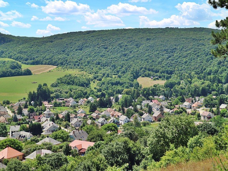
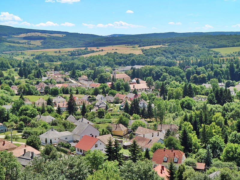
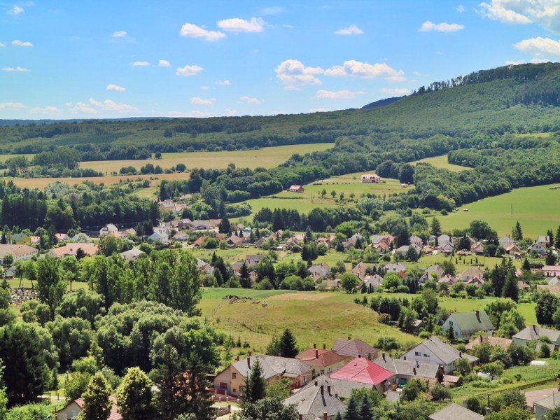
KÖVES HILL TERRACE LOOKOUT POINT BAKONYBÉL
GPS coordinates: 47.2580924, 17.7298197
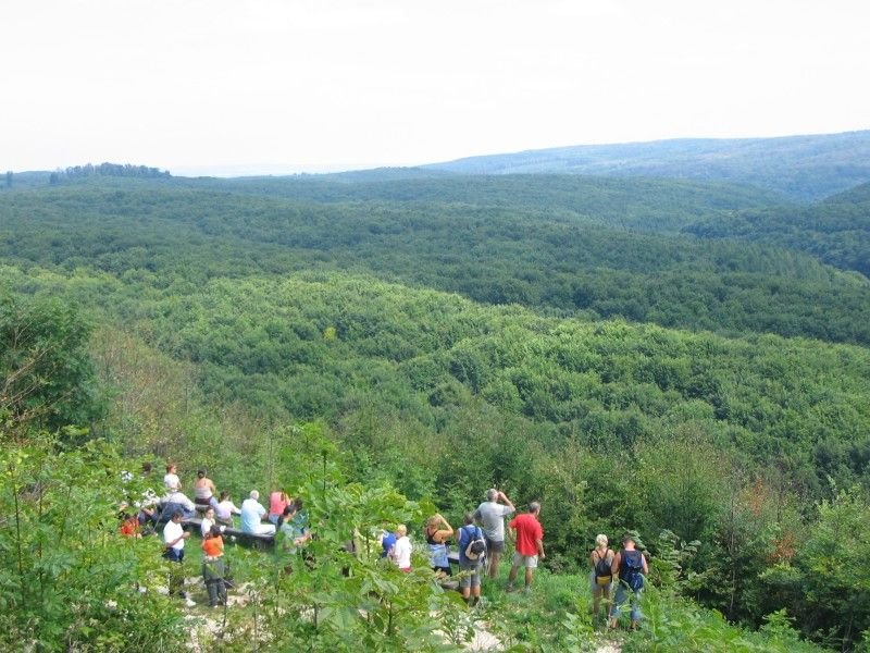
This area was once used for limestone mining, the site of which is still preserved today on the hill. It offers a truly unique view for hikers. The view from the top of the Köves Hill is spectacular. The view of the tiny houses and the hills surrounding the village (Szőlőgyöp, Gát Hill) is truly eye-catching.
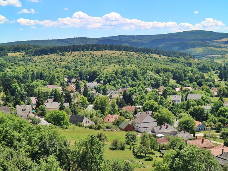
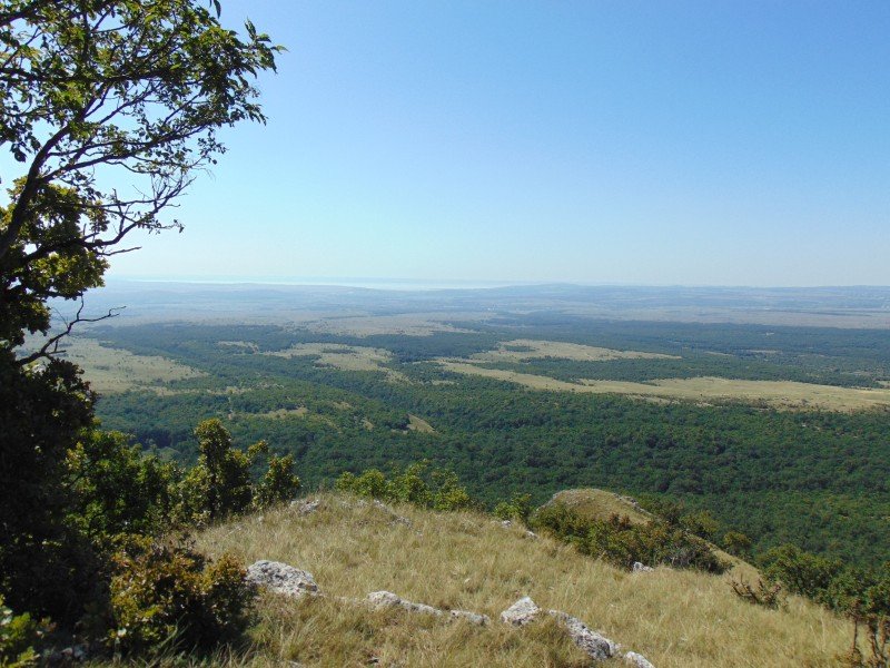
MÓROCZ PLATEAU - TÉS
GPS coordinates: 47.216137, 18.035976
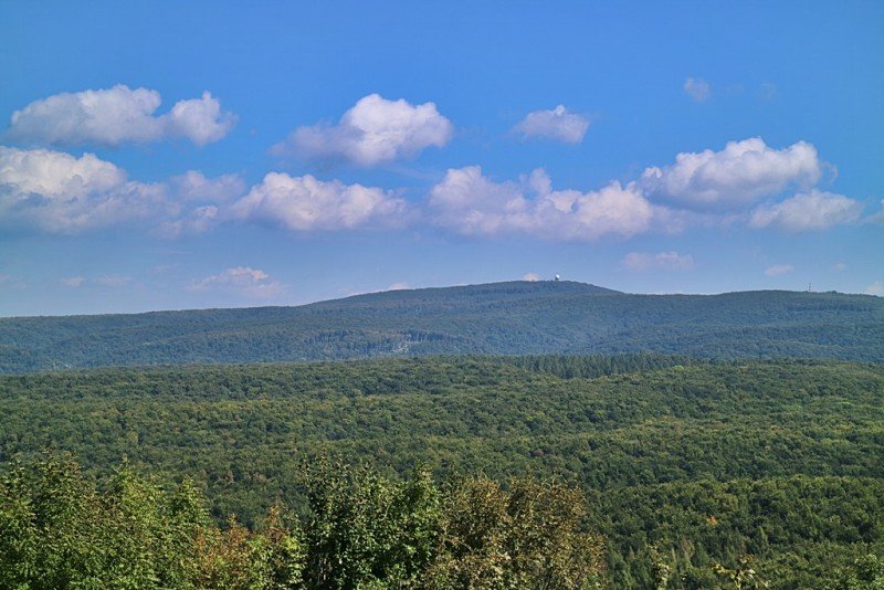
If you have chosen Mórocz plateau as your destination, you can drive all the way to Alsópere. From there, you can take a pleasant walk to the top of the hill, where you can enjoy a magical panorama. You can see in all directions a distance of 30-40 km.
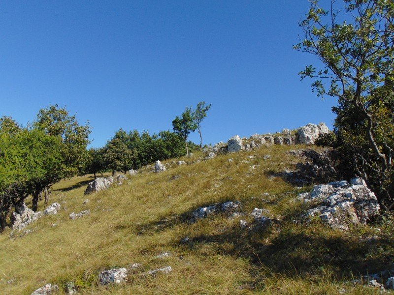
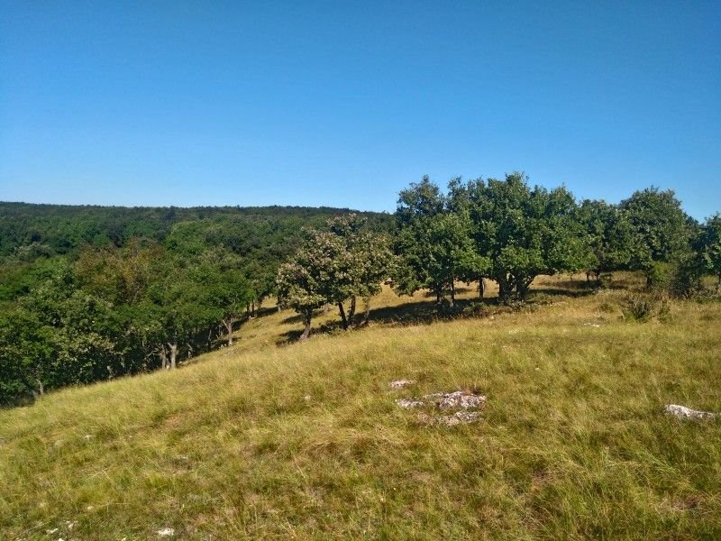
WITT PLATEAU - BAKONYBÉL
GPS coordinates: 47.2639269171, 17.6882430911
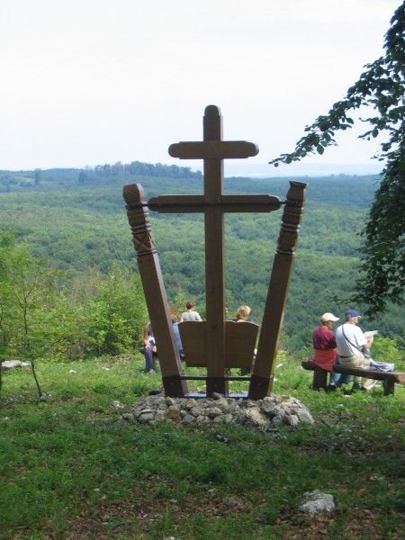
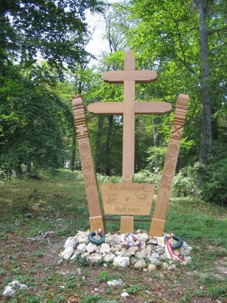
A plateau on the hillside in the heart of the Bakony forests, from where an idyllic view awaits hikers. The locals call it as the Kádár plateau as well. Here you will find a memorial stone with the following inscription in honour of the Bakony: "Praise the Bakony".