KŐRIS HILL
GPS coordinates: N: 47°293’ E: 17° 753’
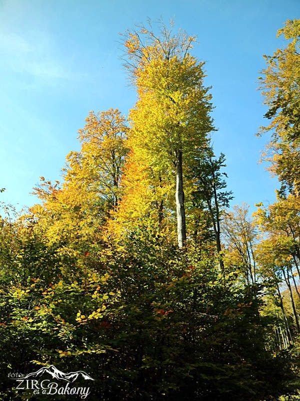
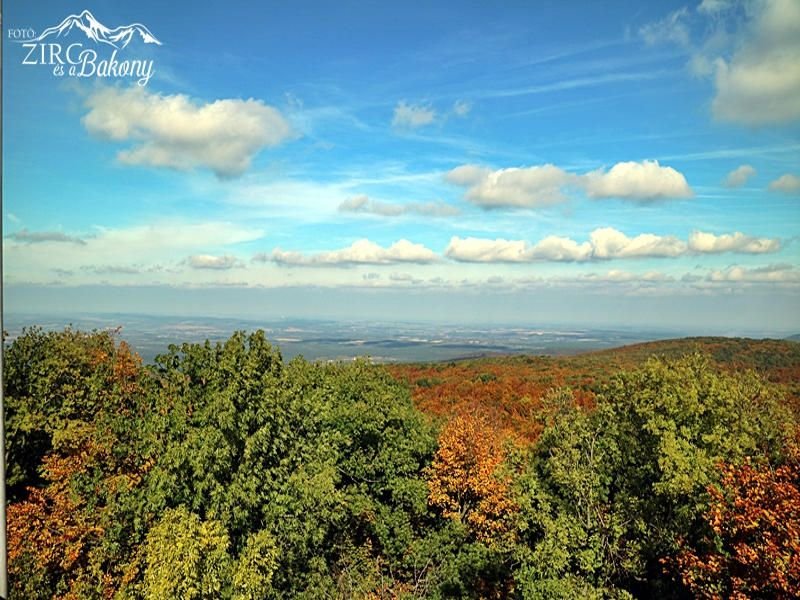
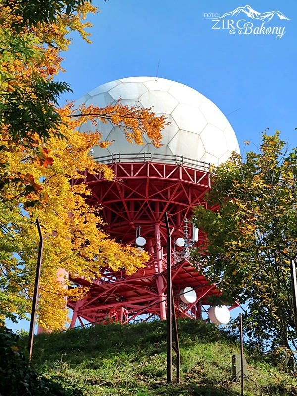
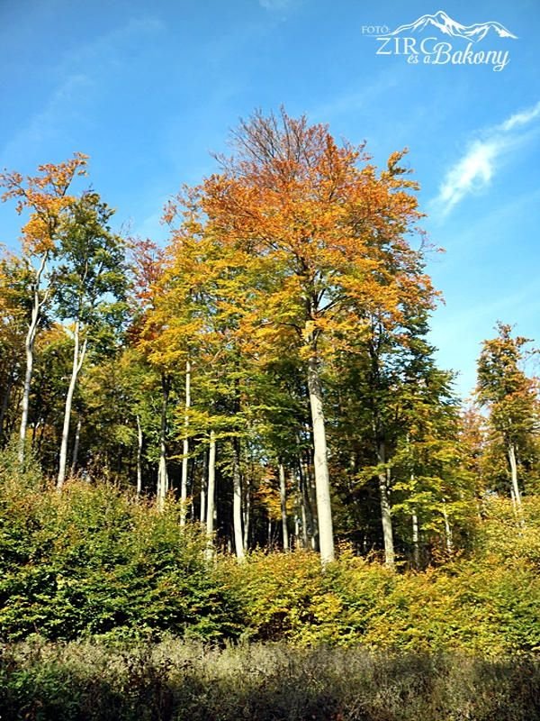
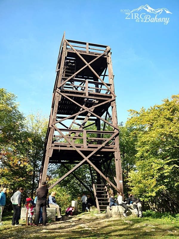
The Kőris Hill is the highest peak of the Bakony Mountains. It is located 5 km north-east of Bakonybél, in the High Bakony Landscape Protection Area. The pedestal of the Péter Vajda lookout tower on its top is 709 metres above sea level. We can find the rock cavern (dolina) called Devil’s Hole (Ördöglik) on the hillside. The Kőris hill civilian air surveillance radar station with its white dome tower is about 50 metres from the Péter Vajda lookout tower. Access to the complex is prohibited.
Kőris Hill is a popular destination for families and is a station for several performance tours.
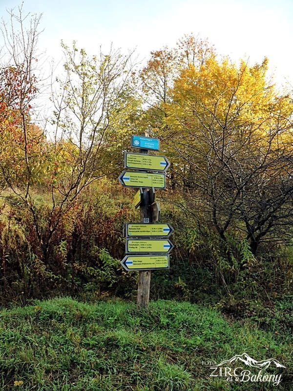
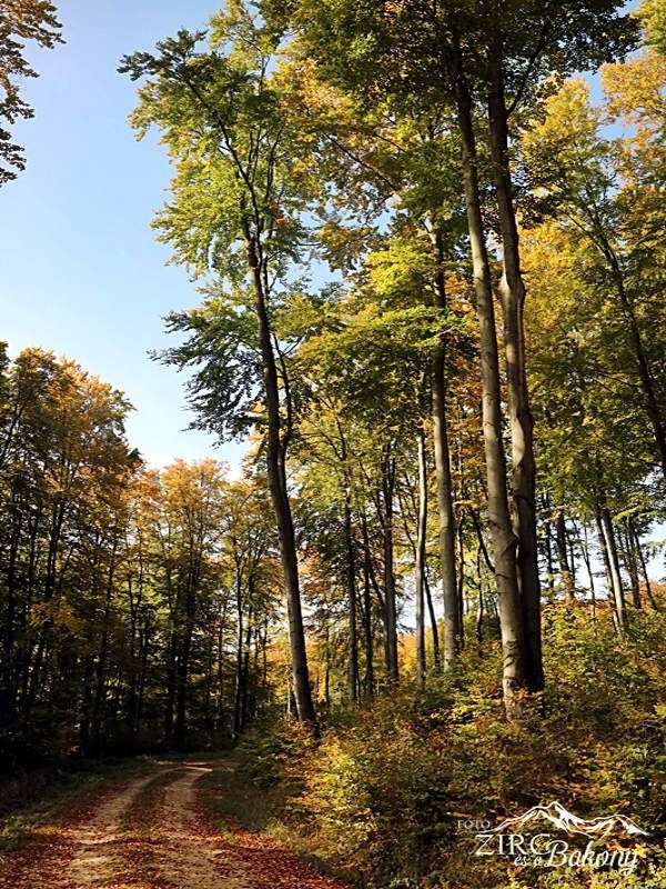
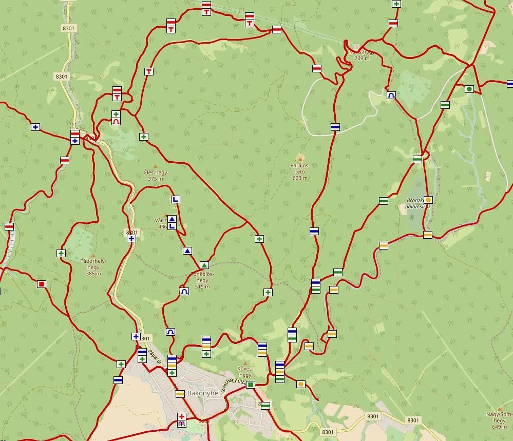
Accessibility: The Kőris Hill can be approached by foot from Bakonybél following the blue sign from north, or from east on the red path. If you want to visit the Devil’s Hole, you have to follow the blue sign which you can easily find while descending from the top.
By car departing from Bakonybél, you can get to the hill right up to the radar station’s entrance on the forestry road.