DEVIL'S DITCH
GPS coordinates: N: 47°920’ E: 17°342’
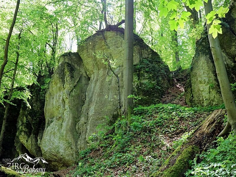
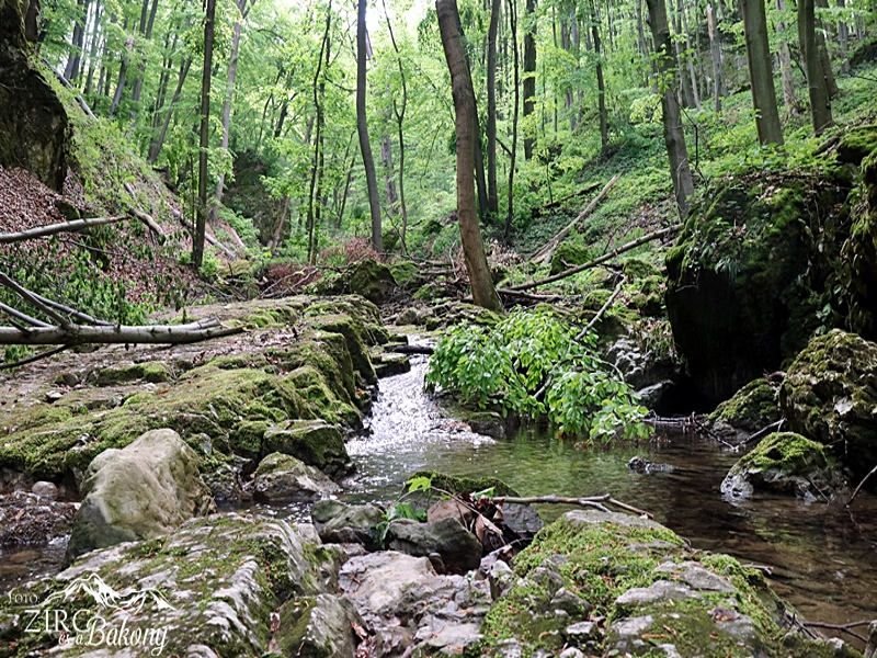
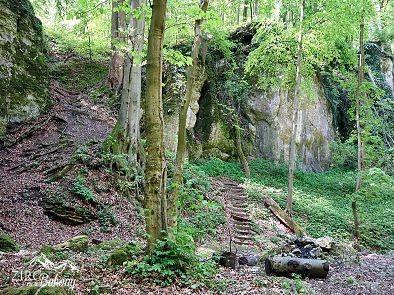
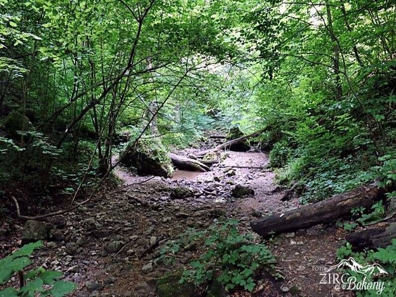
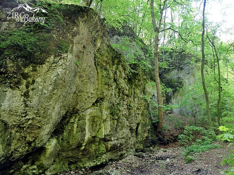
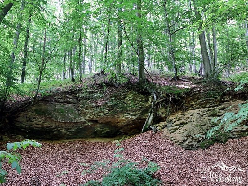
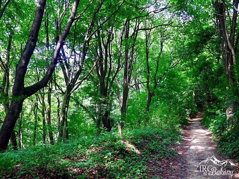
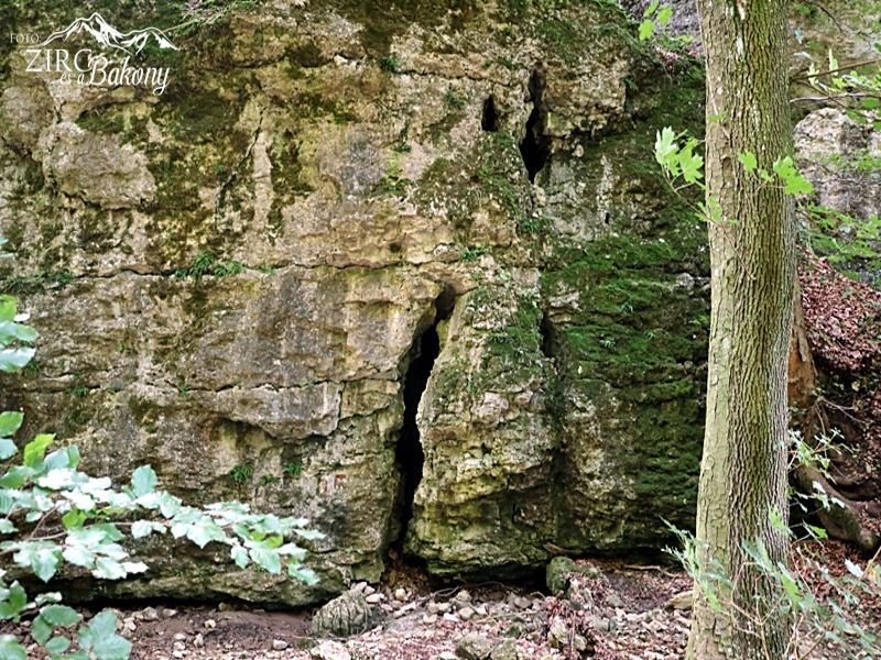
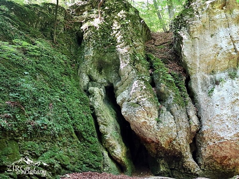
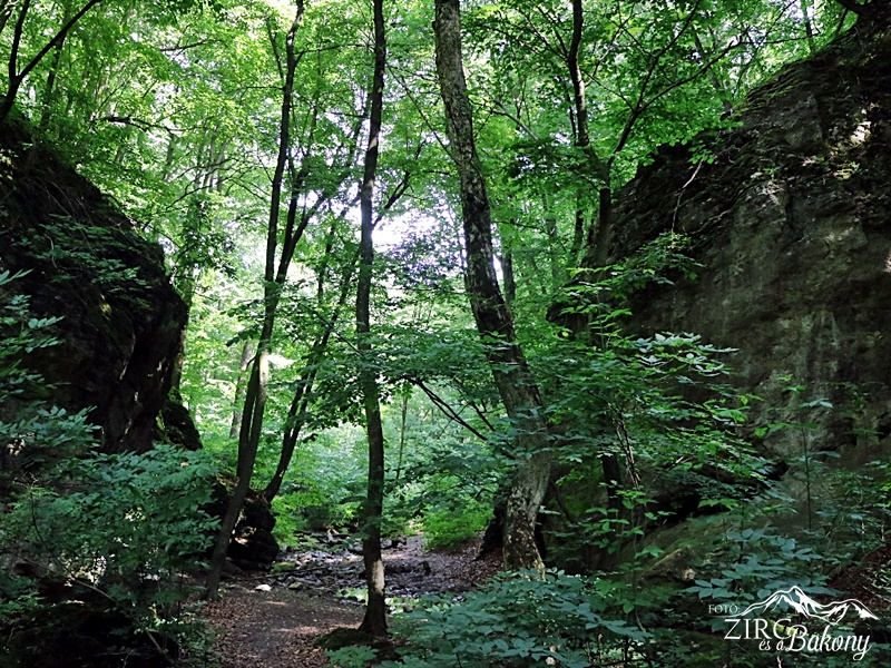
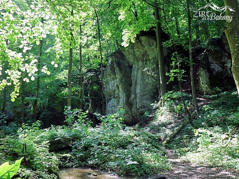
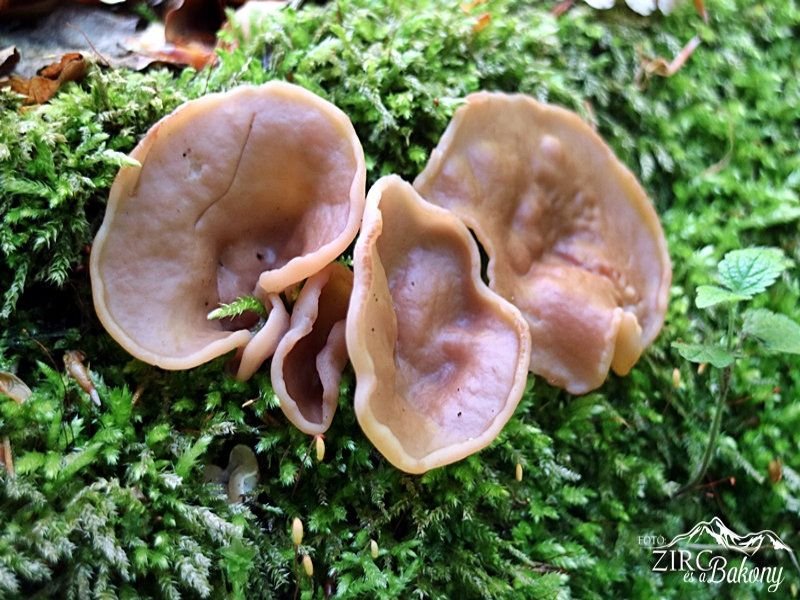
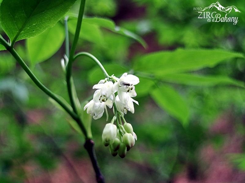
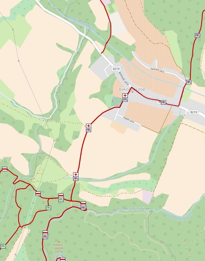
The Devil’s ditch is located at the border of Bakonyoszlop in WSW direction. It has developed under a majestic ravine as a result of the deepening and destructive power of water and the cave-in of its cave passages. There are caves and chambers in the valley side and the ravine bottom is covered with mossy boulders. The Devil’s Dam is a defining point of the ditch. Here, you can find the largest cave of the Bakony Mountains the dense mountain Devil’s Hole (Ördöglik), its wide mouth lying above the Devil’s ditch at a height of 32 metres. On its both side, there are smaller caves, stone dens, chambers and gorges. From Bakonyoszlop, following the red + sing we reach the ravine.
In 1860, Flóris Rómer described its sight as follows: ‘The Devil’s Ditch, a terrible masterpiece of water and maybe earthquakes... Heap of stone stirred up by storm. House-sized rocks tower in the whole ditch bed – you won’t see a foot of land here, your every step falls on a rock.’